SNAPSHOT
The Silverdale Comprehensive Planning Area (SCPA) structures Silverdale into a series of 13 Precincts, 6 of which make up the Central Neighbourhood and is then further broken down into 3 main areas, the Lower Slopes, Mid-Slopes, and Upper Slopes. On July 20, 2020, Polygon Homes' application for a proponent led land use plan for the Central Neighbourhood was enthusiastically approved by the District of Mission's Council, which kickstarted the area's development planning. The project is being undertaken by Ekistics, a Vancouver based land use planning and architectural firm.
In August 2022, Mission City Council enthusiastically approved the Central Neighbourhood Plan, which highlights building forms, neighbourhood character and additional technical information about the Central Neighbourhood's buildout. With servicing slated to traverse down Silverdale and up Loftus, trunk infrastructure can be expected by 2026-2028 depending on market conditions and approval processes with various stakeholders along the servicing route. Development Applications in the Loftus and Gunn areas are currently being prepared with an expected submission timeline of early 2023.

Silverdale Timeline
Below is a timeline of what's taken place in Silverdale and what important dates are upcoming. We've also included links to the corresponding event for further information. Visit http://www.engage.mission.ca/cnp for additional information.
August 2022
Final adoption of the Central Neighbourhood Plan.
June 2022
The plan is informally adopted, with reference to the plan added to the Official Community Plan.
May 2022
Ekistics released the Draft Documents for the 4th and final phase of planning. Upon approval, these documents will form the final Neighbourhood Plan documents that will inform future applicants and residents about the area's guidelines and processes.
February 2&3 2022
Ekistics, in conjunction with the City of Mission, hosted 2 virtual open houses as well as an in-person event at the Clarke Theatre in Mission. These information sessions featured the latest land use and biophysical maps as well as an updated timeline for the plan's approval date.
Link 1: Virtual Open House Video
Link 2: Open House Presentation
Link 3: Land Use Plan Package
December 20 2021
The City provided approval of the Preferred Plan & Technical Studies which allowed Ekistics to undertake community and land owner information sessions.
August 16 2021
The following information was presented at Mission's Aug 16th council meeting, where Ekistics received approval to proceed to Phase 3 of Planning which will include refinement of the preferred plan and also design of the servicing strategy.
Link 1: Preferred Land Use Plan
Link 2: Report by City Staff
June 14-16 2021
Virtual open house hosted by EKISTICS Planning
Link 1: Project Introduction
Link 2: Biophysical Findings
Link 3: Design Foundation
Link 4: CNP Options Plan
June 7 2021
Below documents presented at Mission City Counil Meeting
Link 1: Preliminary Design Options
Link 2: Council Presentation
Link 3: Aerial Slope Constraints
Link 4: Neighbourhood Framework with Trees
May 17 2021
Link 1: Design Foundation - Housing Forms
December 2020
Phase 1 Findings of the Central Neighbourhood Plan are released, these include:
Link 1: Site Analysis and Planning Inventory
Link 2: Potential Environmental Opportunities and Constraints Plan
Link 3: Geotechnical Hazards Assessment Report
Link 4: Archaeological Overview Assessment
Link 5: Existing Infrastructure
July 2020
Proponent led land use plan initiation application in front of council, enthusiastically approved by council. Ekistics will be undertaking project.
Link: CNP Approval
April 2020
Proponent led land use plan initiation application sent to District under newly revised LAN64, Polygon ownership in central neighbourhood 69%+.
Link: CNP Application
March 2020
LAN64 and Silverdale Application Fee Bylaw corporate report released.
Link: LAN64 Fee Bylaws
February 2020
LAN48 replaced with LAN64 in OCP, allowing for proponent led neighbourhood planning with a 60% ownership stake approval.
Link: LAN64 Terms of Reference
October 2019
Ekistics releases the final Master Infrastructure Strategy Document, laying the groundwork for the servicing of Silverdale.
Link: MIS Final
June 2018
Ekistiks Engineering is retained by District of Mission to conduct Master Infrastructure Study (MIS) and begins work.
PRECINCTS
The precincts that form Silverdale's Central Neighbourhood are broken down into 3 distinct areas, Lower Slopes, Mid-Slopes & Upper Slopes. Presumed to be serviced by the end of 2023, Chester will lead, followed by Glade shortly thereafter. From there development will likely be demand driven in terms of phasing.
Chester
A series of south-facing hillside benches positioned between Chester and Rae Creeks form the Chester Precinct. Offering southern views over the Fraser Riverfront in close proximity to the existing Highway 7 and Nelson Street intersection, Chester is the closest precinct to existing trunk water and sanitary connections.
Glade
Rising above Silverdale Avenue along south-facing hillsides, the Glade Precinct is defined through its narrow benches framed by riparian streams within forested ravines. North of Gunn Avenue, the moderate to steep hillsides enjoy views of the Fraser River and surrounding agricultural lands.
Jamieson
Perched above the steep slopes of the Glade and Chester Precincts, Jamieson offers panoramic views of the Fraser River and Mount Baker. Defined by its gentle east-west oriented bench, the Jamieson Precinct serves to connect upland precincts with the existing Highway 7 intersection at Silverdale Avenue.
Terrace
Positioned on an elevated west-facing ridge, the Terrace Precinct is centrally positioned within the SCPA. Defined by steep forested slopes and riparian steams, the Terrace Precinct offers panoramic south, west and north vistas over the Fraser Valley and Golden Ears Provincial Park.
Summit
With its commanding position, the Summit Precinct crowns the SCPA offering an unparalleled 360o view of the Fraser Valley and north shore mountains. Despite its elevated location, the Summit enjoys a relatively gentle topography affording linkages to the surrounding precincts below.
Slopes
Defined by its forested backdrop and steep terrain, the Slopes Precinct wraps the south and east hillsides straddling Olson Avenue, providing connections between the Summit and surrounding precincts.
MAPS & PROJECTIONS


LISTINGS
 Active
 Active
 Sold
Sold Sold
Sold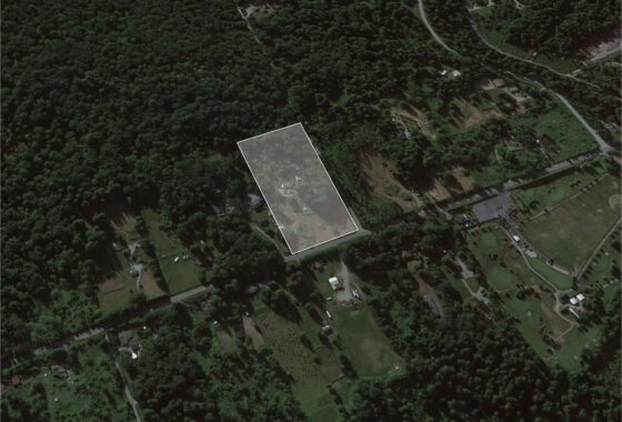 Sold
Sold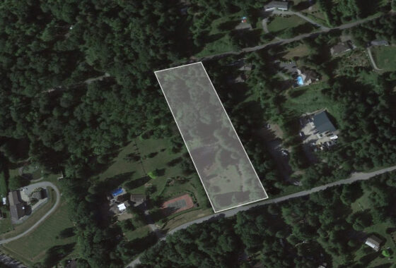 Sold
Sold